
Highlighting the achievements of eight public sector organisations, Esri UK’s Paul Clarke explains how geospatial technology is enabling digital transformation in government
As far as government strategies go, digital transformation is neither new nor easy – but it is, at least, finally happening. Local authorities, public sector bodies and central government agencies are all now steadily applying the latest technologies to the challenges of government, to help them transform the delivery of services for citizens.
The challenges, of course, are numerous and complex. How can we streamline operations to deliver further cost savings? What can be done to improve transparency and engage more effectively with citizens? Where is investment needed to level up economic opportunities? And how can we better understand and respond to the future needs of specific communities?
To even begin to address these issues, local and central government organisations need an understanding of location. They need to know where they are delivering services, where social and economic inequalities exist, where new housing and facilities will be needed in years to come and more besides. It is, therefore, not surprising that geographic information system (GIS) technology is driving digital transformation across government today.
Achieving efficient government
Cost savings – always high on the public sector agenda – have never been more important. All around the UK, local and central government organisations are using geospatial technology in versatile ways to deliver significant efficiencies through digital transformation. Westminster City Council has, for example, undertaken location analytics to gain insight into the optimal routes for its waste collection vehicles. By using location as a key criteria when appointing new contractors, it has minimised the cost of fuel and employee time, identified potential savings of up to £2 million a year and ensured that contracts represent the best possible value for taxpayers’ money.
Meanwhile in Northern Ireland, the Veterinary Service Animal Health Group within the Department of Agriculture, Environment and Rural Affairs (DAERA) has digitally transformed its animal disease investigation process, swapping paper forms on clipboards for field-based survey apps and online dashboards. Using its new GIS-driven workflows, DAERA can now respond more efficiently to disease outbreaks and instigate the most appropriate measures to prevent the spread of disease.
Improving citizen engagement
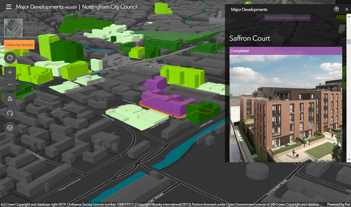
There has long been a call to improve the transparency of local and central government activities and engage more effectively with citizens. In a huge variety of ways, public sector bodies are now doing this, including using story maps to share and clarify information. Nottingham City Council recently created a story map to engage citizens in what it called the ‘Big Conversation’ about regenerating a derelict shopping centre. This interactive map gained more than 12,000 views during the 10-week consultation period and successfully stimulated widespread public interest in its plans to create a thriving city centre.
In Kent, Thanet District Council has taken a step further and created a community hub to raise awareness of the importance of pollination and allow people to suggest locations for new wildflower meadows. This collaborative GIS solution allows community groups and schools to register their own wildflower meadows and work in tandem with the council to help improve biodiversity.
Levelling up opportunities
Levelling up is perhaps one of the biggest challenges that the UK government faces. Many local authorities and central government bodies are using location-based data to under- stand which communities need support and gather evidence to support funding applications. Leeds City Council has launched an observatory that makes a compendium of geospatial data available for anyone to use to evidence the need for levelling up investments. The insights provided by the observatory are expected to prove invaluable in helping the council and its partners to tackle poverty and inequalities.
Elsewhere in the UK, Transport for West Midlands is using a GIS dashboard to gain real-time, analytical insight into the performance of public transport routes. It is using this solution to help reduce congestion throughout the region and support economic growth, by making journey times for commercial vehicles and manufacturers more predictable.
Understanding future needs using geospatial technology
All kinds of public sector bodies are using geospatial technology data to help them plan ahead, so that they can meet future demand, whether this is for housing, schooling, rail infrastructure or leisure facilities. Sport Wales has gained a far deeper insight into the distribution and accessibility of sports facilities in Wales using a geospatial technology analysis solution developed by the University of South Wales.
This innovative tool enables Sport Wales to provide the Welsh Government, local authorities and national sports governing bodies with clear evidence of where to invest to deliver health benefits for the widest number of people.
To support the need for many more homes, Homes England has created GIS web app, that provides instant access to detailed information about the development plots that Homes England wants to sell. This public-facing solution enables housing developers to make faster, well-informed investment decisions and accelerate the supply of new homes.
Together, these examples show how widely GIS is used in the public sector and just how versatile it can be. Whether it is being used for analysing and visualising data to gain insight, for empowering mobile teams or for sharing data with others, GIS is a powerful enabler of digital transformation.
Paul Clarke is Head of Government at Esri UK, where he advises local government and central government agencies on how to use GIS to achieve their digital transformation goals.