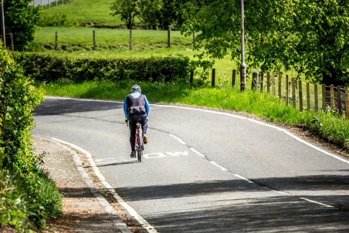
Mark Nicholson, CEO of Vivacity Labs, discusses how local lockdown travel habits are already influencing the green recovery
With restrictions in the UK now easing, residents have spent much more time in their local area than ever before during lockdown. Whether it was walking around the local park, cycling around the area, or running new routes, the distance people travelled significantly decreased.
Before 2020, 60% of journeys between 1-2 miles were made in cars and cycling rates were low. However, the TfL cycle count, which usually takes place in Spring and was instead pushed to Autumn in 2020, revealed a 7% increase in cycling in inner London and a 22% increase in outer London, compared to the previous count in spring 2019. These shifts in behaviour are expected to carry on as pandemic restrictions continue to be eased and lifted. In a recent study for BBC News and King’s College London, 40% said they expected to walk more, 31% intended to shop locally more and 28% said they will cycle more than before the pandemic.
With active travel (e.g. walking, cycling, scooting) increasing and residents staying local more often, the impact that 2020/21 has on green travel is significant. But how are these changing travel trends affecting policy and the transport networks of our towns and cities? And why is technology and data so crucial for the success of implementing these changes moving forward?
Roads adapting to trends
Responding to these changing behaviours, local authorities, councils and transport planners have capitalised on an opportunity to adapt and restructure our urban infrastructure and public spaces. Temporary pop-up active travel schemes have sprung up across our cities and towns. New cycle routes, segregated cycle lanes and low traffic neighbourhoods (LTNs) have been introduced throughout the year to facilitate and encourage active travel (though not without controversy) alongside wider pavements to allow more pedestrians to travel safely. Flexible closures of streets at certain hours have enabled pedestrian-only access, with more space to distance, and even a bit of al fresco dining! All with the purpose of making our cities safer, more sustainable and greener.
Government and local authorities are reacting to these shifts and supporting the push for green travel and infrastructure with funding pledges. The government has said it will invest up to £830 million from the Future High Streets Fund to help town centres recover from the pandemic and be regenerated. This coincides with the Tranche 2 Active Travel funding that seeks to make the above schemes more integrated and permanent features of our infrastructure.
Whether these schemes and initiatives succeed – or fail – hinges on data…
Facilitating schemes – Why it’s all about tech and data
In order to understand, maintain and encourage local and sustainable travel behaviours, active travel schemes need to be implemented and adapted accordingly to match these trends. But there’s an overriding theme when assessing whether a project is a success or a failure – data. As mentioned, these schemes have not come without their controversy. Segregated bike lanes and LTNs have sparked debate from different sides over usage by active travel users, congestion, emissions and safety.
To know how schemes are influencing local travel, councils need to be able to monitor their usage by different modes. With such data, authorities can plan where (or where not) to implement changes, monitor the impact and benefits (again, or not) of the schemes and then accrue evidential data that can show the ‘after’ effect of such interventions. This objective data can help to both settle debates and, when used for optimal planning, avoid post-scheme debate and controversy in the first place.
There’s a growing multitude of ways this data can be gathered. On-street sensors, placed at specific intervention points, junctions, or routes, can analyse multimodal travel trends through counts (e.g. 16 cyclists, 10 pedestrians), pathways and speeds of road and path users. This helps to accurately highlight hyper-local travel trends, the uptake of active travel and the impact of restructuring road space on all users. Other technologies, such as connected bike lights and apps like Strava, offer the data on a wider scale. They allow users to send anonymous location data back from their bikes, helping to show factors such as popular routes, road conditions and near-miss events, but only for specific user groups. Together, such technologies can help provide overall data insight in the local area.
Signalling change – Future habits
Months on from the first lockdown and TfL revealed there had been a 200% increase in its cycle hire scheme. The popularity of these bike schemes, such as TfL’s Santander bikes and dockless Lime bikes, is only set to increase – and it doesn’t stop there. E-scooter docking stations are soon to be implemented and micromobility’s ever-growing presence serves to add further interactions into the mix with our transport networks. To facilitate local travel moving forward, monitoring these trends, debates and adapting schemes and infrastructure accordingly will be both crucial and exciting.
It will also be interesting to see if anonymous data on the footfall of our city and town centres and high streets shows and encourages the need for more flexible and permanent pedestrian-only zones and wider spaces to walk. A summer of events, sport and, if things go to plan, restrictions ending may see these adaptations occur.
Of course, policy and funding needs to continue to advocate change and support what the data shows. Local data helps measure the value of schemes, advance the design of our transport systems and networks and even predict future changes to come. Maybe this future will be “just nipping down on the e-scooter to the local chippie”. Data will be a chief rider in paving the way.


