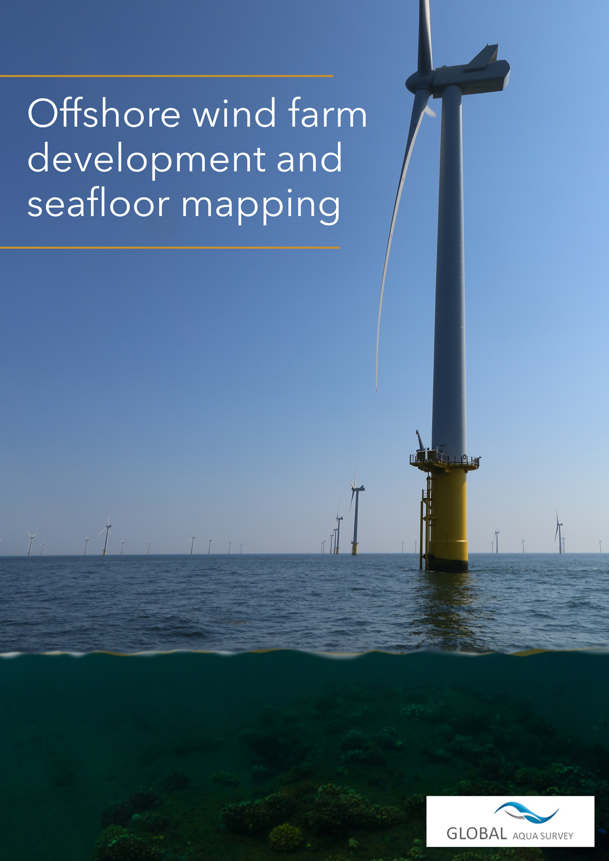
In this compelling piece of analysis, Global Aqua Survey share their expertise on offshore wind farm development and seafloor mapping
By way of an introduction, wind power generation is a new energy source for environmental protection, developed by humans argues Gwo-shyh Song, Associate Professor at National Taiwan University. The author adds that offshore wind has evolved into the most efficient, green, energy for nearly a decade now, due to the development of marine science and technology, for example.
We learn that another reason for the rapid development of skilled marine exploration is because of the potential that offshore wind power presents, in addition to the refinement of modern maritime engineering technology. The author explains in detail that such techniques are divided into the following areas:
-
The environmental background survey of the sea area
- Bathymetrical or morphological data.
- Sediment type and distribution data.
- Geological data.
- Underwater topographic change data.
-
Underwater cultural heritage investigation
-
Pre-construction survey
- Geotechnical Drilling
- Cable route survey
- Unexploded Ordnance survey (UXO)
Finally, as a leading marine surveying company Taiwan, we find out that Global Aqua Survey Ltd. (GAS) has been involved in many seabed mapping surveys during offshore wind power development. Certainly, GAS is engaging with some European developers, in addition to learning how to improve the skill of measurement operations, amongst other areas. Their excellent work has certainly injected new life into Taiwan’s marine survey community and I highly encourage you to read their fascinating insights here.


