A British-made satellite is expected to launch on April 29, which will help in the global fight against climate change through forest mapping
The mission, named Biomass, will be the first in the world to create 3D maps of the Earth’s tropical forests from space, offering a new view of forest structure and carbon storage.
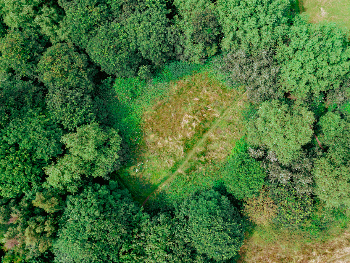
Forest mapping: Using 3D tech to fight climate change
Developed entirely in the UK by leading academics and engineers, Biomass is designed to monitor the health and size of the world’s forests. The satellite will collect important carbon level data in dense, hard-to-access rainforests. Understanding how much carbon is being stored or released through deforestation will help scientists build a more accurate global carbon budget.
This mission is especially important as forest destruction and growth significantly affect the amount of carbon dioxide in the atmosphere. Current satellite technologies only measure the forest canopy, missing key data hidden beneath the treetops. Biomass, however, can penetrate cloud cover and tree canopies to provide comprehensive 3D data.
A milestone for UK innovation and the space industry
The concept was conceived by experts at the University of Sheffield and built by Airbus UK in Stevenage, supporting around 250 skilled jobs. The project is part of the UK’s space industry, which employs over 52,000 people and is valued at £18.9 billion.
Biomass has also strengthened the UK’s collaboration with the European Space Agency (ESA), with the UK securing nearly €91 million in contracts since 2016. The satellite will be launched from Europe’s spaceport in Kourou, French Guiana, and will operate in orbit for five years.
High-tech tools for forest mapping and a greener planet
Over the first 17 months, Biomass will create a full 3D map of tropical forests. After that, it will continue to produce updated maps every nine months. This detailed information will be crucial in shaping global environmental policies, supporting biodiversity efforts, and helping countries meet net-zero goals.
By offering better insight into the volume of carbon stored in forests, Biomass will enable more informed decisions on conservation, reforestation, and sustainable land use. It will also help track the impact of deforestation and forest degradation on biodiversity. In this area, accurate data has long been lacking due to the remoteness and inaccessibility of tropical forests.
Driving climate leadership and economic growth
The Biomass satellite is more than just a scientific milestone; it shows the UK’s commitment to both climate leadership and economic innovation. As part of the government’s wider “Plan for Change,” the mission hopes to attract international investment, boost local economies, and inspire future advancements in space and environmental technology.
With more than 50 companies across 20 nations contributing to the project, Biomass showcases global collaboration with strong UK leadership. It stands as a powerful example of how advanced space technology can be used to address the planet’s most urgent challenges, protecting forests, reducing emissions, and helping humanity build a more sustainable future.


